European platform for early warning of droughts, fires and floods
The NEIKER technology centre, together with other European agents, has participated in the development of the ClimAlert digital platform for predicting water-related climate risks.
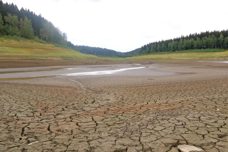
This tool is already finalised and accessible and will contribute to more efficient public-private water management and to preventing soil erosion due to climate change.
The initiative aims to achieve the objectives set out in the EU Strategy for Soil Protection 2030 and contributes to more efficient water management.

In a planet increasingly characterised by meteorological uncertainty, the ClimAlert platform emerges as a solution to keep society informed about adverse atmospheric phenomena in one of the most affected areas of the planet, the southern European region known as SUDOE, which includes the south of France, Spain and Portugal.
It is a digital tool based on weather data from various sources and open-access data that provides early warnings of extreme weather conditions such as floods, droughts, risk of soil erosion or fires. ClimAlert aims to respond to the increasingly evident effects of climate change in the region, such as rising temperatures and sea level rise, which require advanced and innovative measures to be taken.
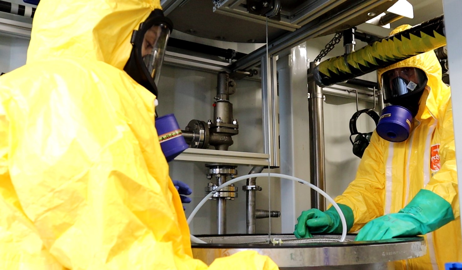
The ClimAlert initiative, in whose development NEIKER, a member of the Basque Research and Technology Alliance (BRTA) has participated, draws on various sources of information, including meteorological data from stations throughout the SUDOE territory and satellite data that are available to society as a whole, such as the Sentinel satellites of the European Space Agency (ESA) and NASA’s Landsat.
Technology for better water management
“By bringing all the information together, the platform makes it possible to monitor climate variables such as temperatures or precipitation in a specific area, both in the past and in the near future. In addition, the option of issuing alerts in the event of extreme weather conditions can be enabled”, explains Gorka Landeras, researcher at NEIKER’s Plant Protection and Production department.
The tool is already accessible to the general public through this website. In order to access this data, it is necessary to register and sign up for some of the pilot areas where the algorithms included in the platform have been deployed.
In addition to providing information and alerts, ClimAlert offers visual tools that make it easier to understand how climate situations evolve: “Through interactive maps, graphics and customisable alerts, extreme events can be monitored and their evolution studied, climate alerts can be established and strategies can be drawn up to mitigate their effects”, says the researcher.
Proven usefulness
Since its launch, the ClimAlert platform has proven its usefulness on several occasions. In the first half of this year, it has been very useful for monitoring drought in the Basque Country and has provided valuable information for decision-making by Basque public administrations.
And in 2021 ClimAlert minimised the impact of a flood in France, when the Garonne river reached one of the highest flood thresholds in its history. An extreme situation that could have resulted in a major natural disaster, but which could have been anticipated and controlled to a large extent thanks to the early warning tools developed within the framework of the project. The Climatological Association of the Middle and Southwest Garonne (ACMG), a partner in the project, was able to predict the increase in river flow and to inform the authorities in particular and the population in general in order to prevent damage.